Anaa Atoll
Geography
Anaa is an atoll in the Tuamotu Archipelago. It is 29.5 km long and 6.5 km wide.
Other names: Nganaa-nui, Ara-ura
Location: 17°20′31″S 145°30′31″W. It is located 350 km to the east of Tahiti.
Area: 38 km² (land) and 90 km² (lagoon)
Highest elevation: 11 m (unnamed)
Population: 497 (2012)
Largest settlement: Tukuhora (population 350)
 |
| Map of Anaa Atoll |
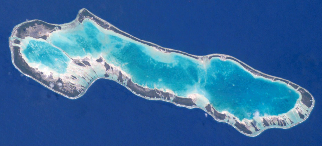 |
| Anaa Atoll |
History
17th century – Soldiers from Anaa atoll dominated the north-west of the Tuamotus.
10 February 1606 - Pedro Fernández de Quirós discovered the atoll for Europe. He named it Conversión de San Pablo.
1768 - Louis Antoine de Bougainville sighted the atoll.
1769 – James Cook sighted Anaa atoll. He called it Chain Island.
1 November 1772 - Anaa was visited by Spanish explorer Domingo de Boenechea. The atoll was named Isla de Todos los Santos.
1852 - The missionary competition between Mormons of North America and French Catholics led to a revolt and an intervention of French colonial troops.
1878, 1906, 1983 - Anaa suffered severe hurricane damages.
1976 – Inauguration of a territorial airport.
 |
| Anaa Atoll |
 |
| Anaa Atoll |
 |
| Anaa Atoll |
 |
| Anaa Atoll |
 |
| Anaa Atoll |
Sources
Brak komentarzy:
Prześlij komentarz